
A map can be defined in so many ways such as, a geographic diagram or depiction of an area, or a drawing or a plan of the earth’s surface showing distances, directions and positions. Maps are around since ages and helping the mankind since there was no technology and the only way to find the directions was a piece of paper showing the rough estimate of the position and distances of places. However, the maps we have today are more refined and authentic. With the evolution of technology, more advanced ways have been devised to guide or help the people to reach their destinations. One such example is GPS, an acronym for Global Positioning System. This system has gain a lot of popularity in the recent few years and great numbers of people are relying on this to help locate their directions.
Maps are an integral part of our life. These are not only used on major platforms but also helpful in our daily life. For instance, if you are visiting a large shopping complex, you will be provided a map of the mall on the entrance to help locate different areas easily. There are several types of maps which are designed for various situations and needs. Let us a brief look at some of the types of maps in the coming lines.

Different Kinds of Maps and Their Uses
Following are given different types of maps:
Climate Maps or Weather Maps
Climatic maps or weather maps are far different than those we used to locate streets, places or directions. These are solely used to forecast the weather. These maps help to determine the weather patterns related to a certain area or region. The information these maps give to us is recorded and used for different means. These maps basically records the changing happens in temperature, seasonal variations, precipitation and much more. This collected information is then observed on the basis of which the weather forecast centers predict the weather for next coming days. All this information is collected through different resources such as radars, satellite images etc. these weather or climatic maps also help to detect the on coming storms or severe weather conditions.
Physical Maps
Physical maps are the maps that are used to describe several physical aspects of a place or area such as depicting different land formations, i.e. mountains, plains, valleys, deserts or water bodies like rivers, lakes, seas, oceans and so on. Different ways are used to describe certain things like lines are used to describe the elevations of mountains, blue color indicates the water bodies. Besides these, shading patterns spots tints of different colors are used to indicate different things.

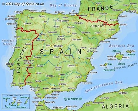
Political Maps
These maps are used to characterize several different countries along with the depiction of cities, state divisions, capitals, major cities, etc.
Economic or Resource Maps
Economic or resource maps are the maps which are used to depict the economic or natural resources of a particular country or region. Variety of symbols is used to denote different types of resources. For instance, a symbol of orange on the map regarding any particular region suggests that the region is known for the production of oranges, while if a wheat symbol is given on any state or region implies that the region is rich in wheat production. Each of the different resource has its own particular symbol which distinguishes it from other resources. If a state or region is known for more than one resource all the symbols are mentioned on the map.
Road Maps
As the name suggests, these maps represent the directions of the roads or streets of any particular place on the map. These maps are extremely important especially for the people who are not familiar with the place such as tourists. With the help of road maps, one can easily reach his/her destination without wandering aimlessly here and there.

Topographic Maps
Topographic maps are the maps which basically represent the contour lines depicting the shape and elevation of the land. What these maps bring to us is representing the shape and elevation of the land with the help of lines. For instance, if the land is a plain area then the lines are far apart, while if the land is steep, the lines will be close to each other. These maps are normally used by the constructors who are planning to construct buildings or roads. Geologists also make use of these maps to gather data.
These are some of the different types of maps. Most of the people rarely realize the importance of maps in their lives but they certainly have a key role in their lives. Surely, maps are integral part of our lives which become handy during different times in our lives.